

An aerial wildlife census covering the Athi-Kapiti wildlife eco-system has begun. The exercise which aims at providing accurate and continuous data on trends in wildlife populations, the condition of their habitats, their concentration and the impact of human activities is the third phase following phase one and two that covered the Amboseli and later Maasai Mara ecosystems respectively.
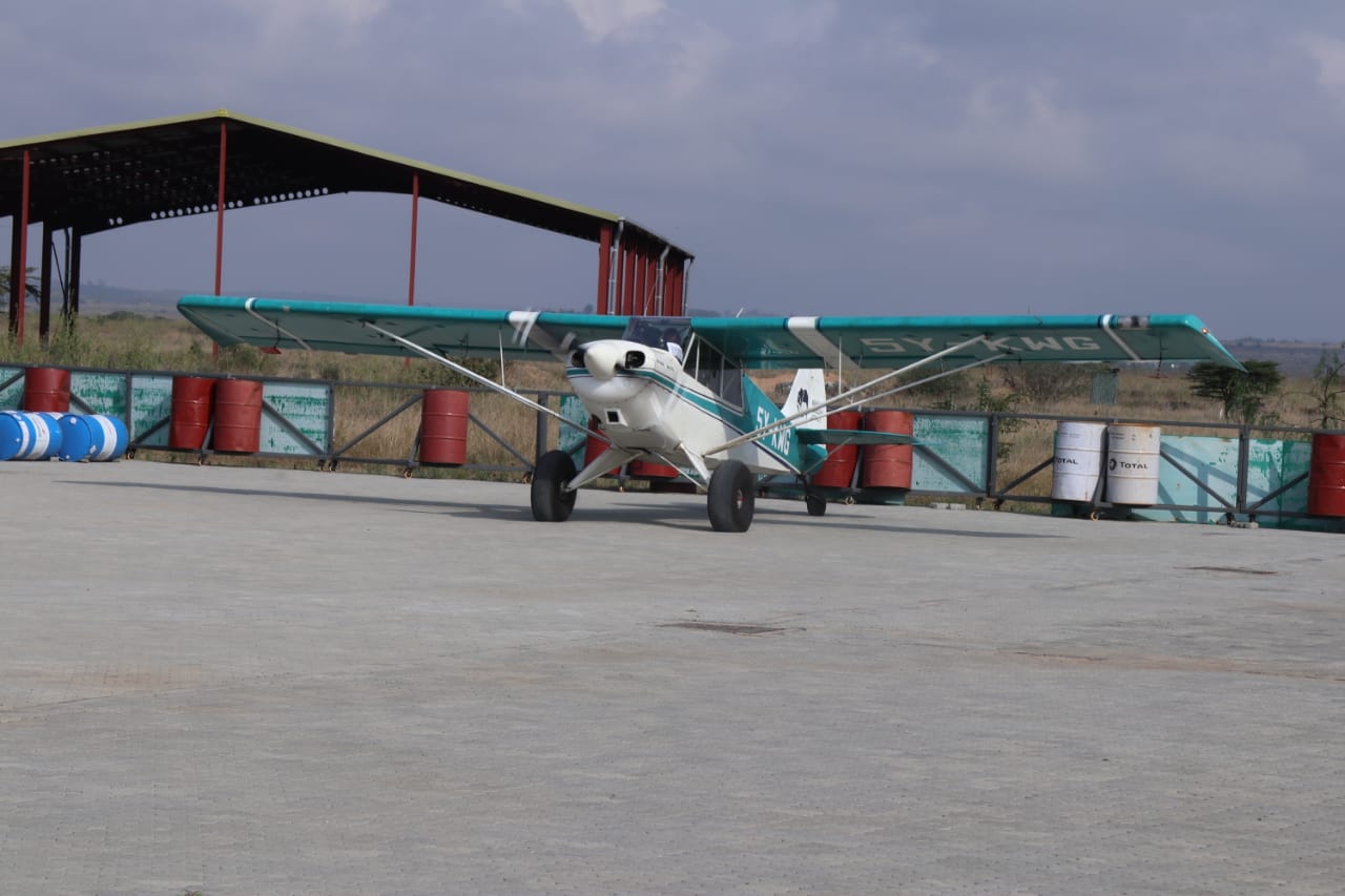
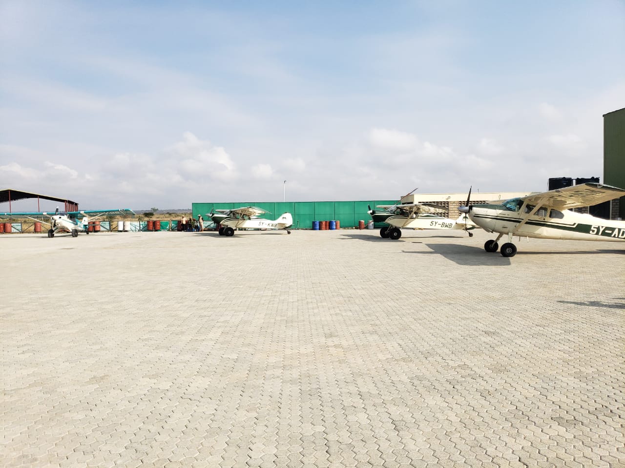
“We are using latest technologies like Remote sensing, earth Ranger systems , GPS, cameras to map the precise locations of the Wildlife sighting to ensure data accuracy” said Mr Steven Ndambuki a Principal Scientist at Wildlife Research and Training Institute (WRTI).
Mr Ndambuki said, the wildlife census initiative highlights the commitment to sustainable conservation and management of wildlife.
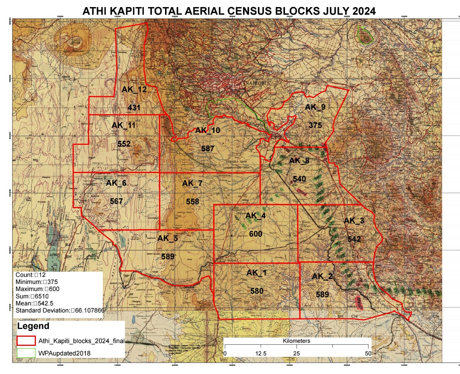
The ecosystem which covers 6,510km2 and borders Amboseli-Magadi census blocks to the south and Mara census blocks to the northwest and Nairobi National Park to the north is majorly used as a dispersal area for wild animal population and a seasonal migratory route for animals residing in those ecosystems. The ecosystem consists of large group ranches, wildlife conservancies, privately-owned ranches and government owned ranches.
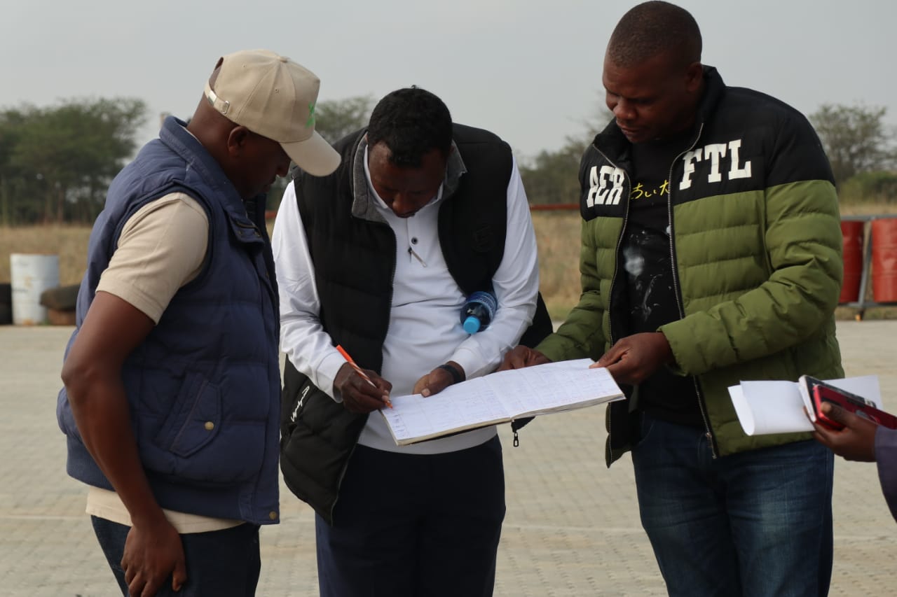
The exercise expected to take 3 days was flagged off by the Kenya Wildlife Service (KWS) Senior Assistant Director for the Southern Conservation area, Mr Joseph DaDacha accompanied by Deputy Director Conservation Science Dr Lekishon Kenana, Principal Scientist Bernarr Ngory and Assistant Director Amboseli ecosystem Mr Paul Wambi.


Leave A Comment